Show Key Points
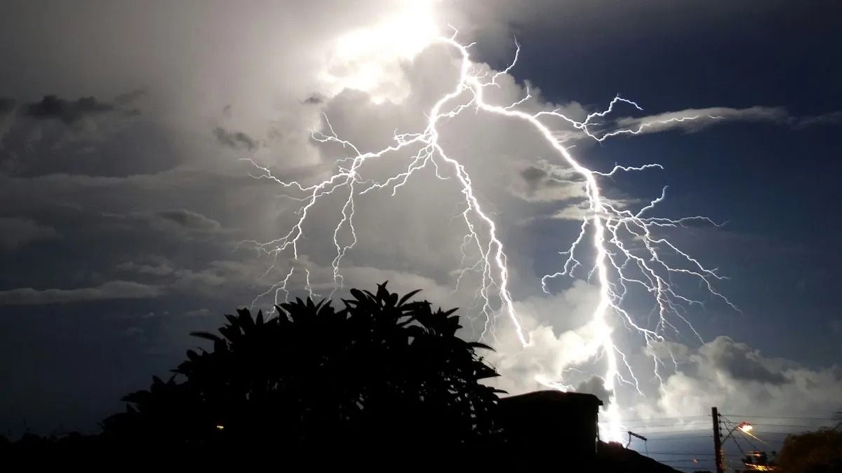
The central and eastern United States are entering a period of high-stakes weather this Sunday, March 15, 2026, as an Enhanced Risk (Level 3 of 5) of severe weather targets millions from the Midwest to the Deep South.
Meteorologists from the National Weather Service (NWS) are highlighting a dangerous atmospheric transition: individual, scattered thunderstorms are expected to congeal into a massive, fast-moving squall line.
Powered by an intense low-pressure system ejecting from the Plains, this line, scientifically known as a Quasi-Linear Convective System (QLCS), is capable of producing hurricane-force wind gusts exceeding 75 mph.
Unlike the blizzard conditions currently impacting the northern Midwest, residents in the warm sector of this storm must prepare for a wall of wind that can arrive with little to no lead time.
Shift between Squall Line vs. Thunderstorm
While every squall line is made of thunderstorms, the way they organize changes the level of danger. An isolated thunderstorm typically has a life cycle of 30 to 60 minutes, but a squall line is a self-sustaining weather machine that can last for several hours and travel hundreds of miles.
-
The Formation: Squall lines usually form along or ahead of a cold front. As cold air displaces warm air, it acts like a wedge, forcing moisture upward into a continuous wall of clouds.
-
The Hazard Profile: While isolated storms often produce larger hail, a squall line is a wind producer. The primary threat is damaging straight-line winds, though spin-up tornadoes can frequently occur within the line itself.
Check Out - Heavy Snow Warning Issued: 4 Feet of Snow and 55 MPH Winds to Slam Washington, Alaska
Key Differences between Isolated Cells and Linear Systems
The following table outlines the critical distinctions according to NOAA and NWS terminology:
| Feature | Isolated Thunderstorm | Squall Line (QLCS) |
| Organization | Circular or "popcorn" cells | Linear, continuous band |
| Primary Danger | Large hail and flash floods | Widespread damaging winds |
| Duration | Short-lived (under 1 hour) | Persistent (several hours) |
| Radar Signature | Discrete "hooks" or dots | Long line, often with a "bow" shape |
Check Out - March Blizzard Warning: Massive Winter Storm to Bury Midwest Under 3 Feet of Snow
The Bow Echo Alert and Its Importance Today
Official sources like the Storm Prediction Center (SPC) often watch for a bow echo within a squall line. This occurs when the center of the line surges forward faster than its edges, resembling an archer's bow.
This signature indicates an intense rear-inflow jet, where high-altitude winds are being pushed down to the surface. If you see a bow echo approaching on your weather app, it is a signal that winds equivalent to a Category 1 hurricane may be imminent, even if no tornado is present.
How to Survive the Squall
"Treat a Severe Thunderstorm Warning with the same respect as a Tornado Warning when a squall line is involved," advises the National Weather Service. Because these lines move at speeds of 50 to 60 mph, the time between the first gust of wind and the most intense part of the storm is incredibly short.
-
Seek Interior Shelter: Move to the lowest floor and stay away from windows.
-
Secure Loose Objects: Squall line winds are notorious for turning patio furniture and trash cans into dangerous projectiles.
-
Charge Devices: Widespread power outages are a hallmark of these systems due to downed trees and lines.
Check Out - SpaceX Launch Schedule 2026: Next Rocket Liftoff Dates for Starlink and Starship Missions
As the system moves east toward the Appalachians by Monday morning, March 16, the squall line is expected to maintain its intensity, shifting the threat toward the East Coast. Following the passage of the line, temperatures will plummet, with some areas in the Midwest transitioning from severe thunderstorms to snow squalls within hours. This "clash of seasons" defines the volatile 2026 spring pattern. Stay tuned to NOAA Weather Radio for real-time updates as the line progresses.


Comments
All Comments (0)
Join the conversation