A winter storm warning has been declared by the National Weather Service (NWS) for the mountain passes of Colorado, Wyoming, Utah, and Idaho.
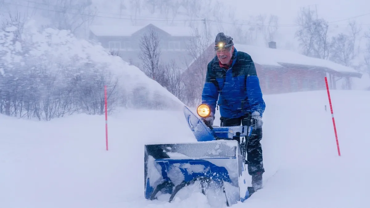
Heavy snowfall of 12-24 inches is forecast in some regions. The storm will increase its strength late Friday and reach its peak during the night into Saturday, bringing intense snowfall on major freeways including Interstate 70, Interstate 80, and Interstate 25 in the Rocky Mountains.
This alert will remain in place from Friday evening until Saturday morning and will result in the potential for a blizzard with low visibility due to heavy snowfall causing hazardous driving conditions and road closures.
It is recommended that people not drive unless absolutely necessary. The abrupt plunge in temperatures in late spring could result in temperatures reaching up to 20-25 degrees lower than the April average.
Winter Storm Warning: 12–24 Inches of Snow to Slam Mountain Highways
The heaviest snow is expected to accumulate above 8,500 feet, where totals could reach 12–20 inches or more, with some local spots seeing up to 30 inches.
Along key mountain passes, strong winds of 30–40 mph will combine with heavy snow to create blowing snow and reduced visibility, turning roadways into treacherous conditions for drivers.
The storm is particularly dangerous because it hits at the height of the travel weekend, with many people using the highways to reach mountain resorts and recreation areas.
The NWS warns that even relatively short drives through the mountains could become hazardous, and recommends allowing extra time, checking road conditions, and keeping an emergency kit in the car.
States Affected By Winter Storm
The winter storm’s impact will stretch across the Rocky Mountains, affecting Colorado, Wyoming, Utah, and Idaho, with the most severe conditions in the high‐elevation passes.
In Colorado, the storm is expected to hit hardest along I‑70and I‑80, where 1–2 feet of snow could accumulate.
In Wyoming, the warning covers the central and northern Rockies, with significant snow predicted for the Yellowstone corridor and the Snowy Range.
In Utah, the storm will impact the Wasatch Front and central Utah mountains, with 8–16 inches expected in the highest elevations.
In Idaho, the Lemhi Valley and Lost River ranges will see heavy snow, along with light to moderate accumulations in the Snake River and Pocatello areas.
The storm’s effects will be felt most acutely in the high country, with milder conditions in the lower valleys.
What Drivers and Travelers Should Do
The NWS advises drivers to avoid travel through the mountains if possible, and to delay trips until conditions improve.
If travel is essential, drivers should check state transportation department websites and local weather alerts before heading out.
The NWS recommends carrying a winter survival kit with items such as blankets, food, water, a flashlight, and a first‑aid kit.
Drivers should also be prepared for delays, detours, and possible road closures, and should avoid stopping on the side of the road during the storm.
For those already in the mountains, the NWS advises staying in place until the storm passes and conditions improve.
The storm is expected to taper off by Sunday, with temperatures gradually rising above the freezing point. The NWS will continue to monitor the situation and provide updates as needed.


-1776596528407_t.webp)

